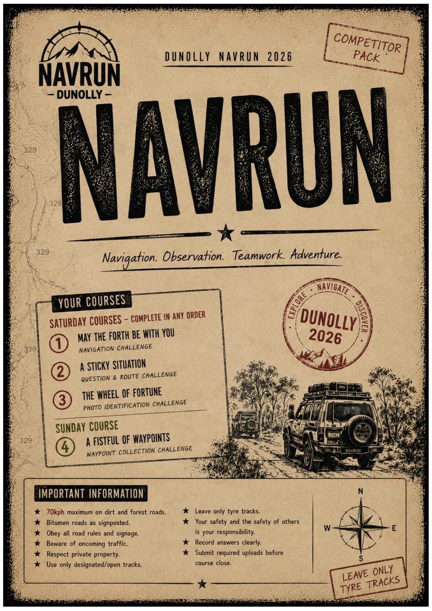
Classic bush navigation, modernised with gameplay, creativity and immersive challenges. Out here, nothing is handed to you. Earn every point.
Navrun is a full-weekend navigation event where teams use maps, UTM coordinates, stick maps and observation skills to find waypoints scattered across remote bush locations.
At each location, teams identify a matching photo, answer questions about what they find, and at selected sites, recreate a reference photo as accurately — or as creatively — as possible.
The map shows you the way. Your eyes, your judgement and your team get you the points.
There's no GPS turn-by-turn. No marked trail. No guarantee the track you're looking at is the right one. That's the point.
These are some of the course types you could expect at a Navrun event. Not every event runs all three, and the mix changes year to year.
Navigate to UTM coordinates on your map. At each location, find the matching photo from your photo sheet and record the number. Some locations also have replicator challenges.
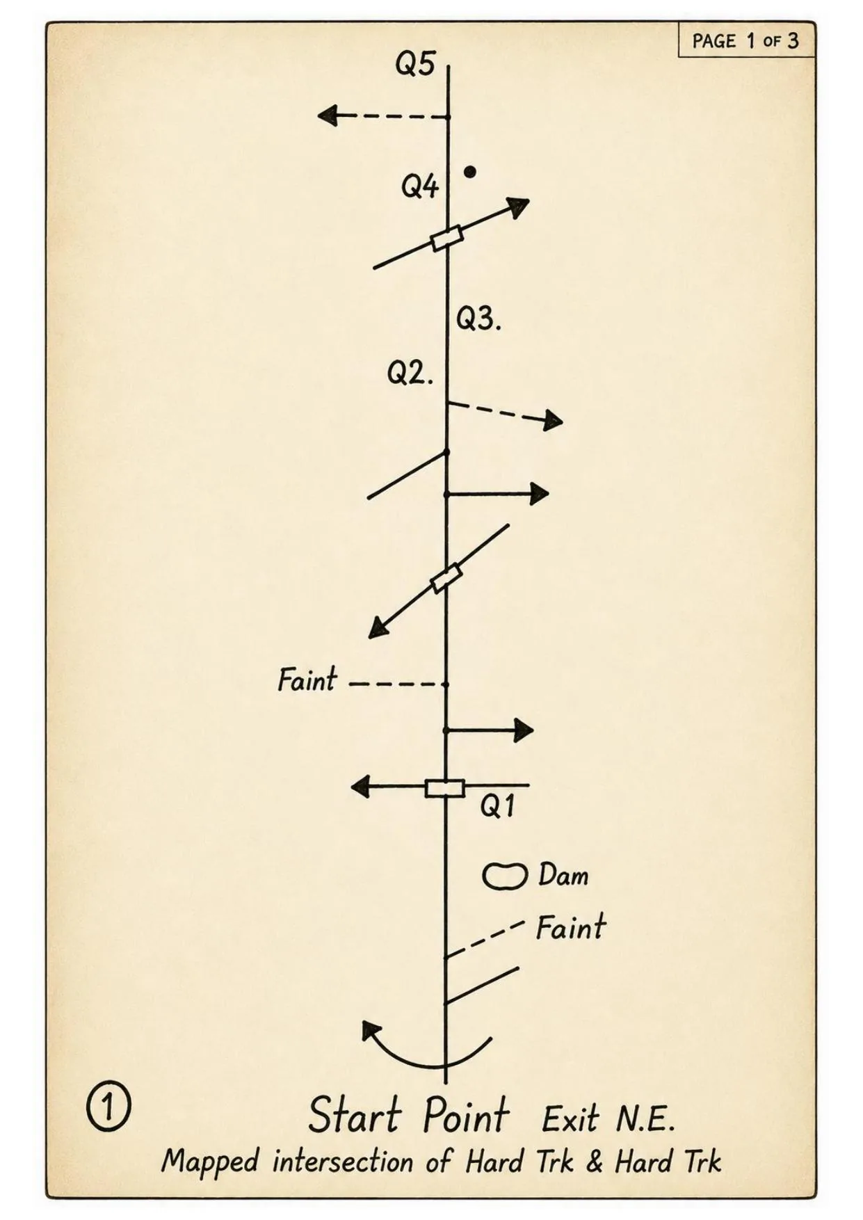
A hand-drawn schematic of the route — tracks, intersections, features and questions marked along the way. No scale. No orientation given. Start at the marked intersection and work it out from there. Answer the questions as you go.
Navigate using descriptions instead of coordinates. "The dam 1100m from the Laurie photo." "Murderers Hill." "Peeping Tom's best vantage point." Study the map before you go. The area will make sense when you're in it.
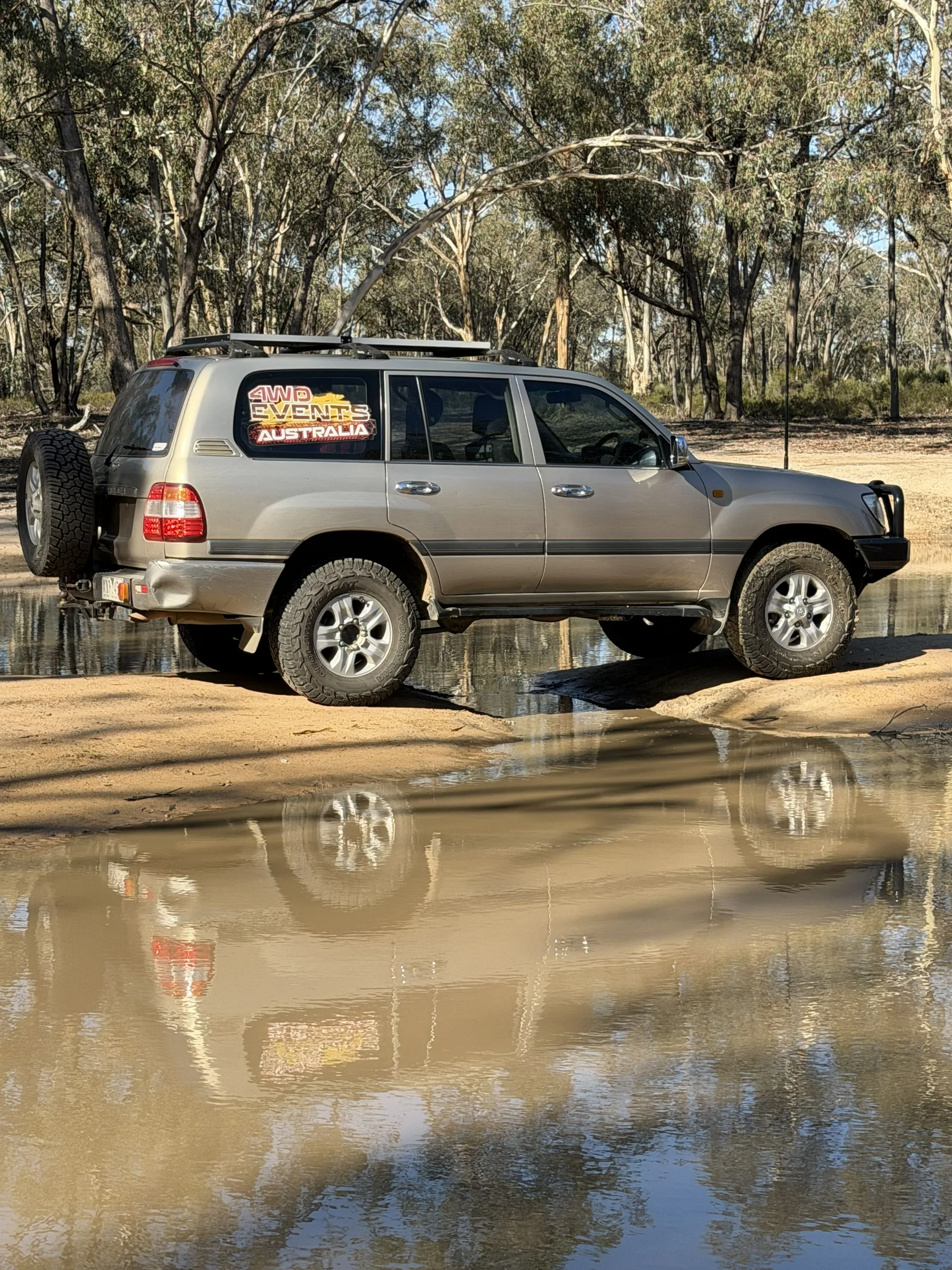
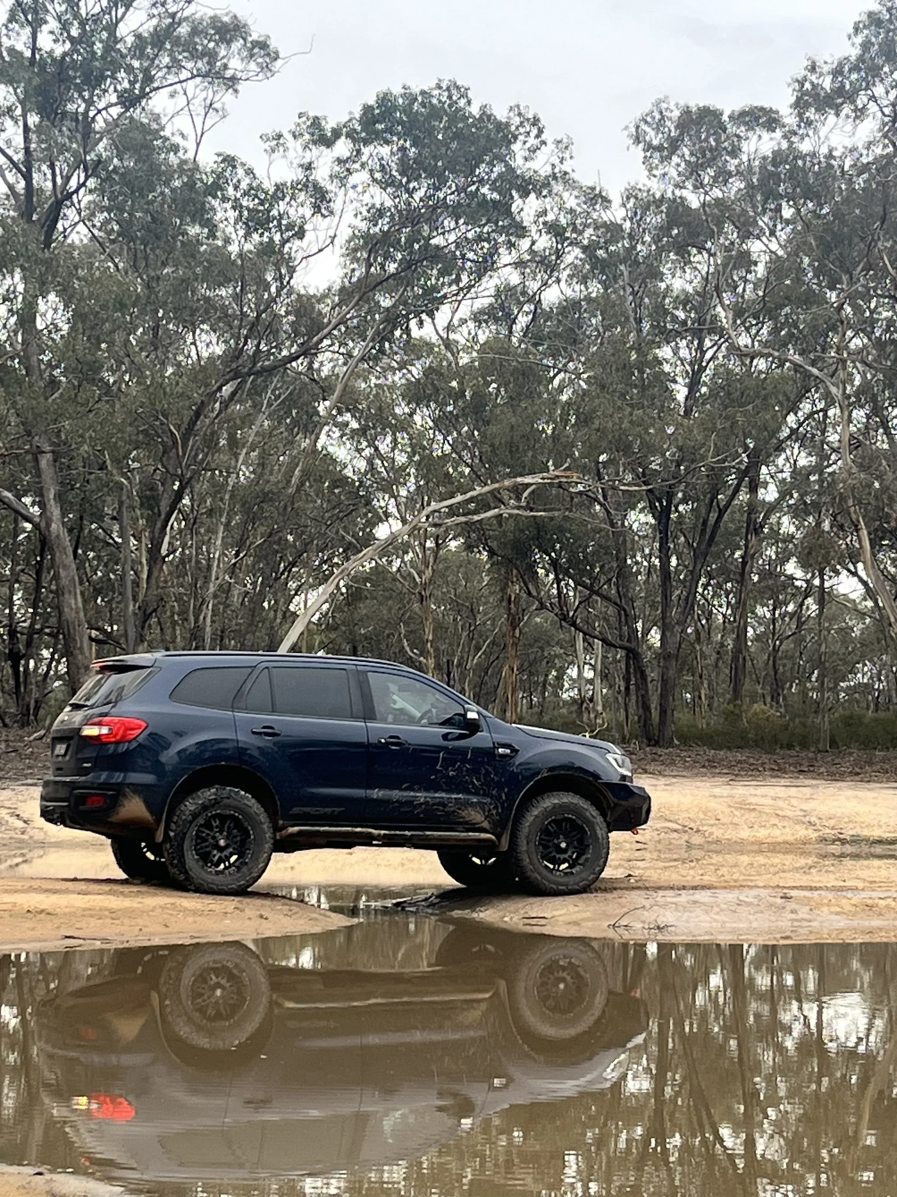
At selected locations, teams must recreate a reference photo as closely as possible — then upload it at camp for judging. Accuracy earns points. Creativity earns respect.
Navigate to the location. Identify the reference photo. Understand what you're being asked to recreate.
Match the angle. Match the scene. Use your team, your vehicle, whatever you've got. Make it work.
Upload back at camp. Judged on accuracy — and creativity. Both count. Both get talked about at presentation.
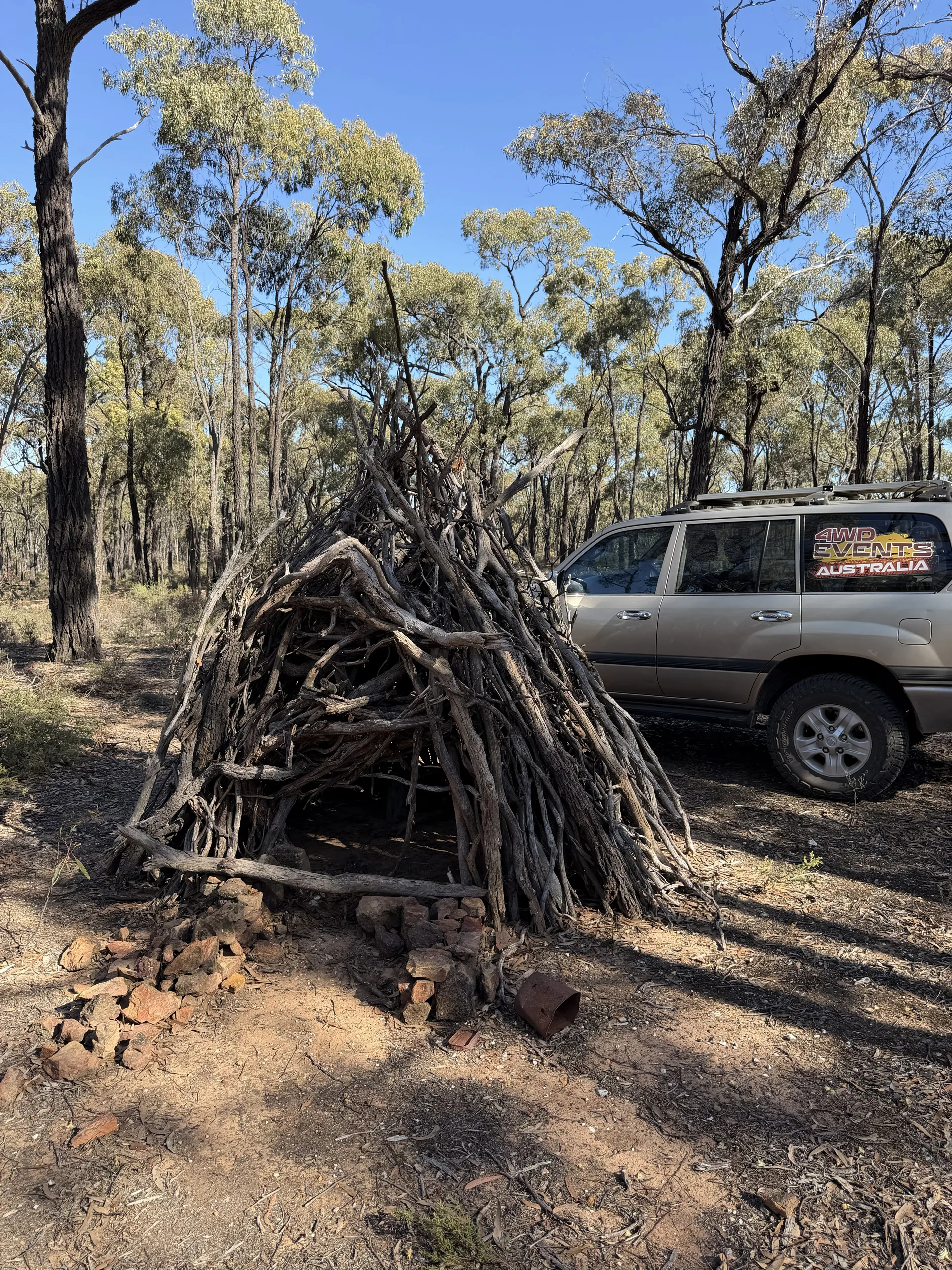
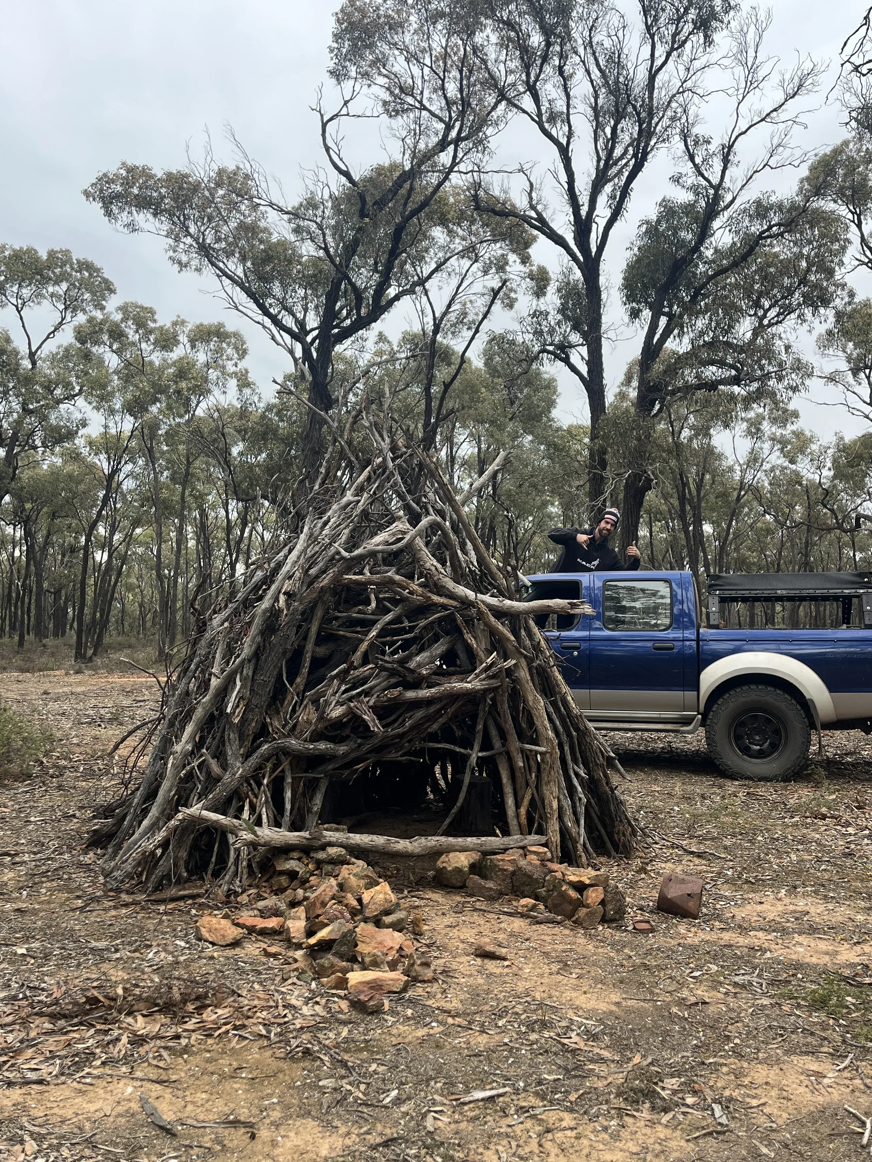
Some teams take it seriously. Others get ridiculous. The best ones do both. Here's what it actually looks like — reference photo versus what teams submitted at the 2026 Dunolly Navrun.
2026 Dunolly Navrun replicator submissions. More competitor photos coming soon.
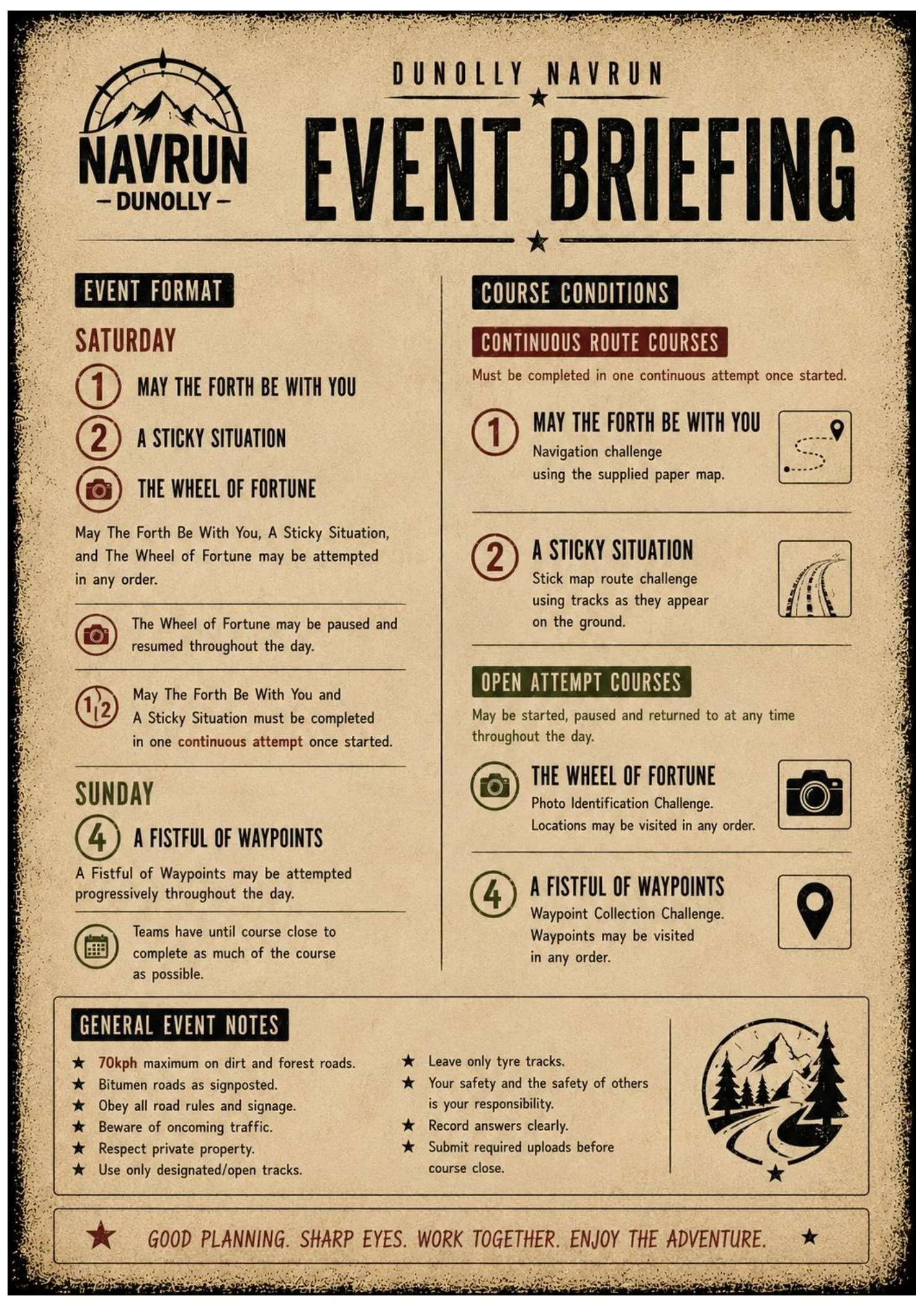
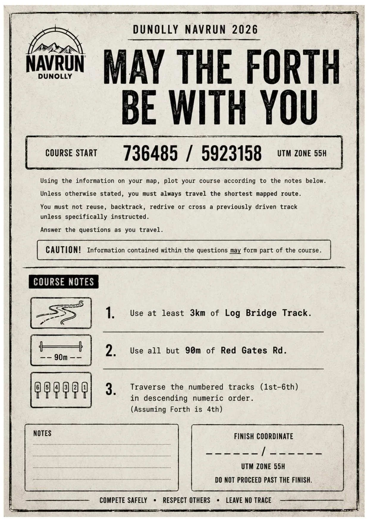
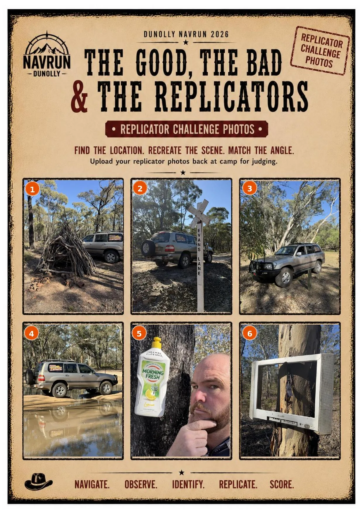
These aren't mock-ups. This is what lands in your hands at the morning briefing. Course instructions, stick maps and replicator challenge photos — from the 2026 Dunolly Navrun.
Start coordinate, routing rules and course notes. "Use at least 3km of Log Bridge Track." "Use all but 90m of Red Gates Rd." Every word matters.
Hand-drawn. No scale. No north arrow. Start at the marked intersection and work it out. Questions are along the route — miss a turn, miss a question.
Find the location. Recreate the scene. Match the angle. The reference photos are deliberately strange. That's not an accident.
Real questions from real Navrun courses. These aren't trivia. The answers are out there in the bush. You just have to find them.
Navrun is built for people who want a genuine challenge. Here's an honest breakdown.
Not ready for Navrun yet? The GeoIncognito Explorer is a self-paced navigation challenge you can do any time — a good way to build your skills before the main event.